

Exploitation of Tundra areas
Find out moreThe tundra is one of our most Northerly ecosystems and covers a huge tract of land running between latitudes of 50°N (where there is no modifying sea influence) to 80°N.

Winters are long and cold, minimum temperatures are very low, with some mean monthly temperatures as low as MINUS 25°C, with little influence from the sea and ocean currents. In some areas because of the tilt of the Earth (23.5°) they don't receive any insolation throughout the winter months. Moisture levels are very low, precipitation levels are also low and much of the moisture is unavailable to plants because it is frozen. The resultant ecosystem contains stunted trees, mosses and lichens, and animals that can cover large ranges to forage or hunt for food or hibernate.

The Case of the Old Crow Flats and the Vuntut Gwitchin
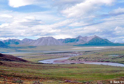
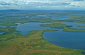
Old Crow Flats are in the north of the Yukon territories in Canada, right next to the Alaskan border. This means that any developments that occur in the USA can have a direct impact upon the people of the old crow flats area, the Vuntut Gwitchin. There are greater levels of environmental protection in the Ivvavik National Park in Canada than in the Arctic National Wildlife Refuge (ANWR) on the US side of the border. The land here is low lying and is composed of peat bogs, whereas to the north are some woodland covered mountains. The area was not glaciated during the last ice age; it was part of the Beringia, which was an ice dammed lake caused by impeded drainage. For this reason the area has 7m deep of Lacustrine or lake bed sediments. The area is a permafrost area, and the soil at 50cm deep and below is permanently frozen.
In winter the herd moves south to forage for mosses and lichens in the less deep snow that exists in these locations. The Vuntut Gwitchin uses these animals for;
-
Meat
-
Hides for clothing and tents
-
Bones and antlers for soups and tools
Original hunting methods are sometimes still used, including using fences and herding the herd into shaped traps. However, this traditional life is changing;
The Vuntut Gwichin are no longer nomadic, but are sedentary at
a strategic river crossing point of the Caribou migration.
They use rifles not bows and arrows
They use snow mobiles not sledges
Other economies do exist in the area, but these are limited to limited market economies and service jobs for the Vuntut Gwichin Council (a first nation government) including construction, water and fuel delivery etc.
A quarry for gravel was started in 2003. The gravel has many uses including shoring up river bank erosion, and road building. The quarry is in the side of Crow Mountain 6 km from the village and employs 12 men. Many young people have moved away from the area in search of employment.
The Arctic National Wildlife Refuge (ANWR) is home to 250 species of animal, including grizzly bears, caribou, wolves and millions of migratory birds. It covers 8 million hectares and was established in 1960 to preserve the area. The northernmost part of the refuge is an area known as the 1002 lands - a coastal plain between the Brooks Range and the Beaufort Sea that is not covered by wilderness designated protection. It could hold valuable oil and gas reserves, but is also a key calving ground for the Caribou. In January 2008 a proposal was put forward to open the lands up for petroleum exploration and development. We will discuss and debate this issue via the different interest groups who have a say on this issue.
2) Attempt this exercise about the Vuntut Gwitchin population
3) Research each of the interest groups below (at the foot of the page) with reference to whether or not they would want exploration and development of the 1002 lands for OIL. You could use this word document to record your ideas.