


You are to compare two (or more) of the following areas – an inner city area, an area of rural/urban fringe and an area of rural settlement. To include reference to characteristics such as: housing, ethnicity, age structure, wealth and employment and the provision of services.
There are distinct differences within urban areas between different areas. You will visit 4 areas within Newcastle upon Tyne to investigate the differences in terms of their housing, ethnicity, age structure, wealth and service provision. The 4 areas we will visit are
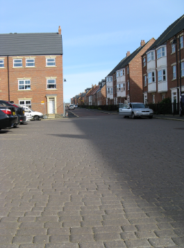
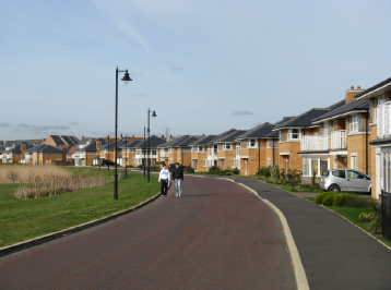
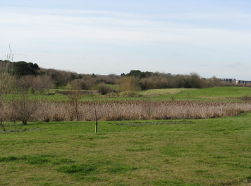
Newcastle Great Park (part of Castle Ward) -
RURAL URBAN FRINGE
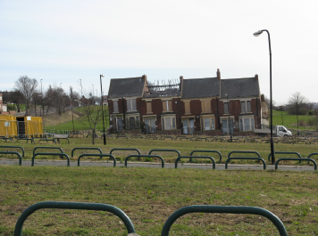
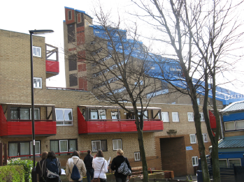
Scotswood & Wingrove - INNER CITY
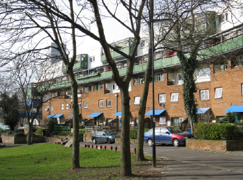
Byker - REDEVELOPED INNER CITY
Lonmghorsley Northumberland - RURAL
In advance of going you will need to complete the Census 2001 exercise found at this link.
NEW DATA - USE THIS - From CENSUS 2011
Take a virtual tour of Newcastle and complete this chart. To do so you will need to use the Google map at the base of the page. You should click on the larger map icon beneath the map, then click on the pins and then click on the yellow man to go to street view and look at the houses.
#You can find out the history of these areas by looking at Kay's Geography website, a fantastic resource
View Settlement Features Exercise in a larger map